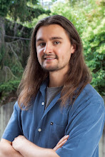
For Good Health in Honor of My Mother: Motivation
Life is full of surprises: some bad ones and some good ones – many life changing events. On March 27th 2008 my car was smashed while it sat parked on the road outside of my apartment and I lay in bed. I intended to get a bike for my birthday on April 23rd. Now my plans for riding a bike to work and exploring alternative transportation were set into motion earlier than expected. So I head out on March 31st to pick up a new bike at the local bike shop here in Burlingame California. My sister Melony dropped me off at the shop and I rode my new bike home from there. It felt great. With the wind on my face, the freedom from traffic and the body motions. I felt alive. Memories from riding to school and around town when I was younger came back to me. The ride home was pleasant. I smiled all the way. As soon as I walked in the door my sister put mom on speaker phone - she explained her situation with breast cancer. I immediately felt like I needed to see her before any treatment began. The next few days I started thinking about riding my bike to Oregon and the plans started to develop. I will ride my bike to Oregon for good health in honor of my mother.
I flew up and spent some time with her the weekend before mothers day.
All through April I start reading up on routes and riders. Many choose the coast line. I take note of the gear other riders take with them and tips for fixing flats on the road. Learn to wet a bandanna and place it under my helmet to stay cool. Cary three water bottles and fill up at just about every town. Study maps of endless roads, campgrounds en route and T-mobile service. My route is a little different though. I chose to go up the middle and visit the lakes between here and there. I’m calling my ride from San Francisco California to Springfield Oregon, although I’m starting at my apartment in Burlingame. The trip begins July 2nd, 2008.
Along the way, if I have service, I will be sending updates with picture messages to this website. You can never rely on cell phone service so don't worry if there are periods longer than others without any updates. There are three major checkpoints from here to there: Santa Rosa, while I'm heading north to Clearlake, Redding, just before Shasta Lake, and Klamath Falls, which is a beautiful place on it's own, but it is the last place to find decent service before Crater Lake, which will have none, and Springfield Oregon where my mother lives.
-Nathaniel Burnett
Just recently my Great Grandmother passed away. She reached her 90's and lived a strong healthy life. Now her son, my Great Uncle Bill suffers from diabetes and has fallen into a deep comma. I think of Bill and hope the best for him and those close to him and our family. I am optimistic and think of happy memories of my Uncle Bill and Great Grandmother. How funny Bill was and how he gave my sisters and I a dollar for every feather that we could find in the park. I think of the hot summers spent in Oklahoma at my Great Grandmothers house.
Tragedies happen. Freeze up and continue to die or Rise up & continue to live.
Day One: The Beginning
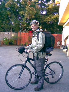
Last night i picked up some gear at REI, printed out some maps and now i'm all ready to go. Thanks for all of the support. REI is the best!
Daly City
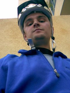
So far everything is going good. Right now i'm resting at war memorial community center / john daly library in daly city. Having a snack and topped off my water bottle.
Lunch in the Park
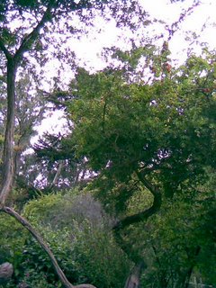
Resting in the golden gate park for an hour or two. Will eat some lunch soon then head north. I'm almost to the bridge!
The Golden Gate Bridge
(*Added extra picture of the Golden Gate Bridge taken same day)
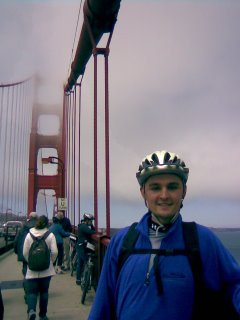
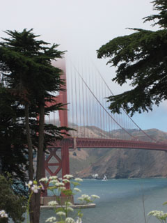
I made it to the other side of the bridge! There are a lot of people out on the Golden Gate Bridge today. I had to walk my bike most of the way. The city was foggy all morning but, the sun is shining on the other side. Now I'll work my way north east toward 29 and start thinking about a place to camp. -Nathaniel
End of Day One
I'm about to fall asleep, but a lot has happened since the golden gate bridge. I enjoyed the views and went straight for Sausalito. In Sausalito i decided to visit the bike shop and buy some rear bags to take some of the weight off my back. Sat in the park and put on all the new parts. Ate a turkey sandwich, filled the water bottle and rode on. After the bridge and new rack on the bike i felt accomplished for the first day so i start looking for a place to camp. I ended up stopping at two on the map and they ended up being nothing but concrete for mobile homes ... So i ride on. They have some really nice bike paths over here running along side 101. That was a nice surprise. I end up in San Rafael. There is some huge fair going on. I see some fireworks from a distance. Tons of people ... It's dark now. I was looking for china camp and got turned around a couple times. Anyways i'm going to sleep at the embassy suites the only hotel around (or so they say).
Day Two
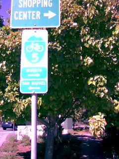
I'm a little sore today. But that is normal. My body will adjust in a day or two. Heading north to Novato. It's warm today. I have shorts and a t-shirt and lots of water and sun block.
Lost in Novato
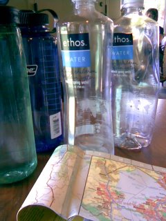
Marin County is beautiful. I took a few wrong turns and have been all over this place, including Marin Keys. I'm back on track and decided to skip Santa Rosa. I'll head east from here to Black Point near 37 east to 29 then work my way up through Napa. Feeling good, this morning i was a little stiff but it turns out i just needed to warm up.
The Long Road to Napa
It turns out that black point is a boat launch and the end of the line. The only bridge is up a steep grass hill from there. Luckily i asked Todd from the Bay Areas very own Elite Concrete if there is any other way to cross and he offered me a ride to the other side since he was headed that way. On that bridge on 37 there is no shoulder so if anyone plans on riding that direction head north to Petaluma. I looked at his maps and got some detailed instructions explaining the route to Napa. It was pretty smooth from there. Stopped in Sonoma for a pepsi and refill on water. Ate an orange. Made it to Napa and ended up at the discovery inn. Now how am I going to get to Clearlake in time to see those fireworks. ... You have to get over the hills somehow and i love pushing to get up to the top because i know i get to cruise down the other side. -Nathaniel Burnett
Good Morning From Napa
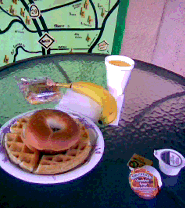
Good morning from Napa! After eating breakfast, I'll find a map then head straight to Clearlake.
Lunch in Calistoga
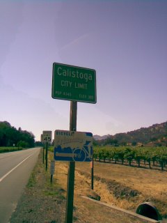
Made it to Calistoga. Rode up silverado trail to 29 and went downtown for lunch. AnnMarie is on her way. Passing through Napa, so we'll eat lunch together. Then head over the mountain to Clearlake and watch some fireworks. The bikers around here are very nice. I met a guy who went down the coast line from Seattle to San Francisco. And they all offer great advice on trails and roads.
Clearlake
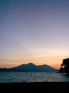
The lake is gorgeous. Clearlake is called the largest fresh water lake in california ... They can say this because one third of lake tahoe is in nevada. The town's a little shabby, but we ate dinner at a nice restaurant. Kathie's Inn - the best steak in lake county.
Day Four
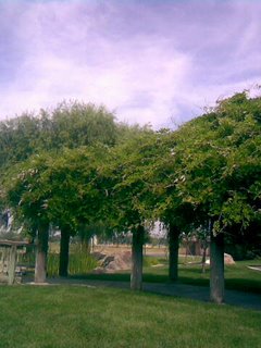
Today has been an interesting day. I woke up at a best western in Clearlake. Ate breakfast with AnnMarie - spent some time by the lake. There was a parade and festivities down by the lake. She gave me a ride all the way down the mountain, over the hills and to williams, where we ate lunch and bought some fruit at a flee market. After that we drove a bit further to Colusa where i picked up some new maps. Colusa is east of i5. We got there on 20 and from there i started riding my bike north on 45, which runs along the sacramento river. Right now i'm sitting at some oasis on a bench in the shade. Then continuing north on 45.
Sacramento River
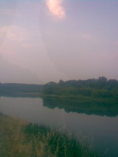
Riding along 45 is nice. With the sacramento river on one side and the irrigation ditch, which looks more like a stream , on the other it was easy to keep cool.
Vacancy
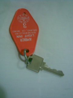
As i ride into hamilton city i come to realize that there is no hotel in sight. I sit on the corner of 45 & 32 at a closed diner eating a fruit pie and drinking some water. Gerald, another biker rolls up and says that he is headed to orland on 32. It's a straight shot. Ten miles with a bike lane that is like a third car lane. We ride near each other most of the way a car passes once in a while. Real smooth ride. Then we part ways in Orland. My journey for the day ending at the amber light inn on the other side of town.
Sitting in the Shade
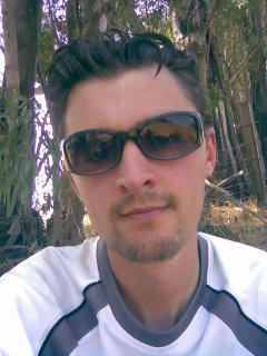
Traveling north on old 99. Almost to Corning. It's real hot today. I see a shopping center / gas station ahead. I'll stop in to fill the water.
Day Five
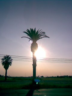
Made it to Corning. Stopped here a little early to re-evaluate my gear and path. It was in the hundreds today and is going to get hotter this week +100¤. I went for a ride at seven and it was starting to cool off. I'll try leaving early tomorrow morning find some shade to sit and read in the afternoon then continue in the evening. It's just too damn hot this time of year to ride through this part of the state middle of the day.
Day Six
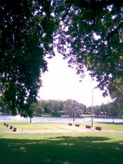
I left early this morning. It's a lot cooler in the morning and evening. By a lot cooler i mean seventies. Even with the dry breeze it's like a cold shower compared to the temperature that i was riding in yesterday. It warms up fast. At noon when i got to this park in Red Bluff it was one hundred degrees on the road. I met a guy on the way that lives here and rides in the heat regularly. 30 to 40 miles. Said he ran out of water once and went two hours without - never wants it to happen again. I'll be staying here for a while to keep cool. -Nathaniel
Day Seven
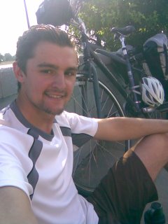
I've been on the road for one week now. My body has adjusted well. It is no longer sore after riding. I spent some time at a local bike shop in Red Bluff last night. Frank, who owns Wheels of Speed, pulled out some maps and showed me the fastest way to head north. As well as, an alternative route parallel to 299 that is safer with less traffic and not as many dramatic curves. I also spent some time watching the news. Catching up on the fires and the weather. Most of the fires are west of here and further north, so i will be okay. The weather is hitting record highs for this time of year and will continue to do so for the next couple of days. It was 112 degrees in Red Bluff yesterday! I'm at a pit stop in Cottonwood right now and headed north to Anderson. I have to find a place to keep cool soon. It is nine a.m. and already in the nineties. -Nathaniel
Day Eight
(*Added a picture of Dry Creek... I think I saw a puddle)
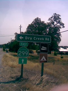
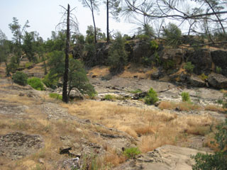
Here I am in Bella Vista. About to head up dry creek road. Taking advantage of the service here in town. It's hot now, but I've only got about five more miles. Then I'll set up camp. Go swimming and take lots of pictures.
Shasta Lake
(*Added a picture of shasta lake from a distance.)
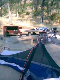
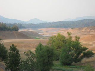
Camp at Shasta Lake. Jones Valley. It's beautiful out here and so peaceful listening to the wind. Heading out before seven. Back toward Bella Vista then east toward Burney. No smoke on this side. The lake is really low for this time of year. It looks pretty though.
40 Mile Climb to Burney
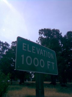
Moving along. I reached 1000 feet! I heard that Burney is around 3000. I decided to stick with 299 because of the heat. I didn't want to back track too much. There are no designated places to stay, that i know of, between here and Burney.
Day Nine
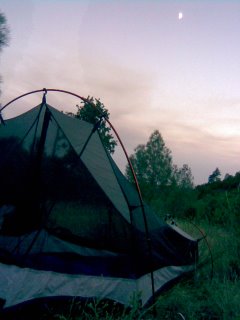
299 was ok today. There is a gravel shoulder and a lot of pull offs along the way to help avoid traffic. Not the kind of road for a peaceful joy ride, but it will get you there. Spent the hot mid day resting at a creek just outside of Ingot. I found a nice place to set up camp somewhere in the Round Mountain area. I will continue the climb to Burney early tomorrow morning.
Two Thousand Feet
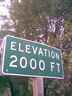
Slept good last night. It started to get real windy so i slept in some sweats and a fleece. Good stuff. I got to see a ton of stars too.
Breakfast
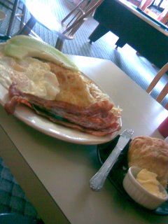
Mmmm this is so good right now. There is nothing between here and Bella Vista. Not even a market. I'm glad AnnMarie brought me that water filter in Clearlake. I cautiously drank about a bottle and a half of filtered creek water. If you're ever in Montgomery Creek stop at the Cafe along 299 they make an amazing breakfast.
Reached Three Thousand
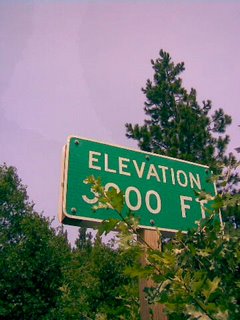
From Montgomery Creek it is all up hill. Still about 15 miles to Burney. There's a rest area up ahead. If There's a decent spot in the shade I think I'll get wet and take a nap.
Day Ten
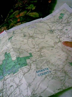
I climbed to over 3000 feet today. Stopped at a rest stop in Hillcrest to rest in the shade. On the way out i was walking my bike up the hill and a local from Burney stopped at the Hillcrest CDFire Station to offer me a ride. On the way up we pass the 4000ft mark and continue to climb then there is a nice drop into Burney. Along the ride I learn a lot about the town - got here around six. There is a lot compared to everything else out here. Great place to rest for a day and prepare for the second half of the trip.
Day Eleven - R&R in Burney
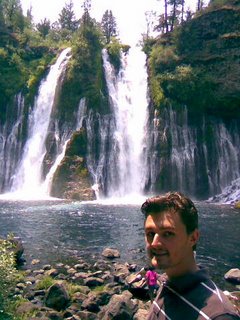
Burney Falls. Last night AnnMarie showed up at 12:30! She brought me some food supply and clothes for the day. We spent some time at the falls, where the air is moist and cool. Then went around town exploring everything. To end the day we went swimming in the pool and ate a good dinner. Now i'm relaxing and looking over the maps anticipating tomorrow's journey. Heading north west on 89 toward Weed / McCloud.
Day Twelve
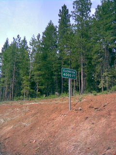
I got to climb to 4000 ft heading north on 89. Everything is going good. After that sign there is about a hundred foot climb. Then it looks like mostly ups and downs from here. I picked up a can of v8 juice this morning at the hotels continental breakfast. You know, a hot can of v8 juice tastes a lot like tomato soup. Ended up climbing well over 4000 ft. Not sure how far, never saw a sign for 5000 but when i saw another sign for 4000 a couple hours later i was hauling ass downhill. Started at the Green Gables in Burney late this morning. Check out was at eleven. We took advantage of that time. I left around 11:30 on bike and rode all the way to Fowlers camp ground just outside of McCloud. Arrived at nine and got camp set up just before dark. A lot of downhill action on the second half of 89. Well worth the hot uphill climb earlier today. The evening air is cool and gave me a boost of energy. -Nathaniel July 13, 2008
Three Strikes and You Are Out
(*This post has been edited for clarification.)
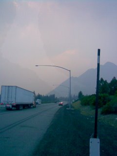
Pulled over by highway patrol on I5 through Shasta. The main strip goes through town parallel to I5. I was supposed to be on that but was allowed to continue since I was close to where you are allowed to get back on I5. Spoke with another highway patrol officer who confirmed that it is okay to stay on I5 until Central Weed, which is where I planned on staying that night. Pulled over again and kicked off by a sheriff and the first HW patrol officer about three miles to Weed ... They want me to take the long way. Somewhere on Old Stage up to College Avenue.
Old Stage Rd
Rode along old stage to college ave. Called AnnMarie to make sure i was on the right path to Weed. It was dark. I have a headlight on my bike and strapped a head lamp to my forehead, with the red flasher on the back. It is actually a nice ride. A lot longer but the road has some nice downhills and the uphill isn't too steep. They mentioned the rain when i was removed from i5. Understandable. I put on all my rain gear and didn't see any rain. Sure the roads are a little wet. It's not raining. Close to 97 now. Will continue as planned tomorrow.
Next Stop K-Falls
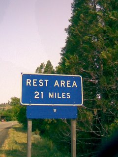
Heading north on 97. 60 to 70 miles to K-Falls.
War Memorial
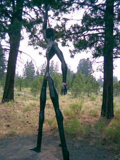
Stopped along 97 at the Living Memorial Sculpture Garden. This is a very peaceful place to reflect on war and peace. Talented art work is displayed within.
Day Fourteen
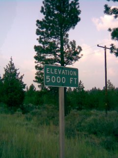
I have been on the road for two weeks now. The trip is taking longer than expected but that is okay. I am so close to the Oregon border now. Today went really well. 97 has a good shoulder and most of the climb is gradual enough to ride up. The rest stop is up above 5000ft. The perfect spot to refill the water bottles. The Hebron Summit is 5202ft. It is marked on the map, so i think that is the highest point on the road. Will hit it tomorrow morning then expect some downhill. It is a cool night, and the pine needles underneath me are so soft.
Hebron Summit
(*Picture added looking back on Hebron Summit)
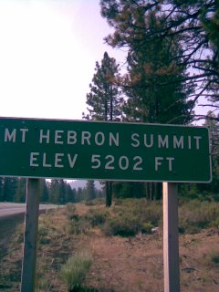
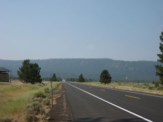
Good morning climb and now the 6% downhill.
Day Fifteen
(*Added picture of the flag in Dorris)
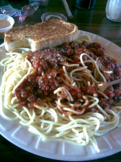
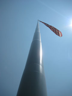
Dorris - right on the border. After the climb this morning there is a long drop then a fifteen to twenty mile stretch of flat land into Dorris. I stopped in Macdoel for lunch. Elevation still above 4000ft. Just outside of Dorris, where you can find the tallest flag pole west of the Mississippi, it starts to climb again toward Klamath Falls. For now I found that italian restaurant in the middle of nowhere to eat a big meal and recharge.
Oregon!
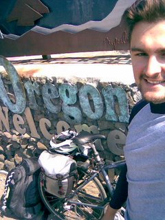
Rode into Oregon this morning. I stopped at the Midland rest stop / tourist info station. They offered me a new map and lots of information on crater lake. It was a nice ride from Dorris. The weather is clear and sunny. There is a much cooler breeze in this area.
(*Post trip insert - nothing posted on this day)
Day in Klamath Falls
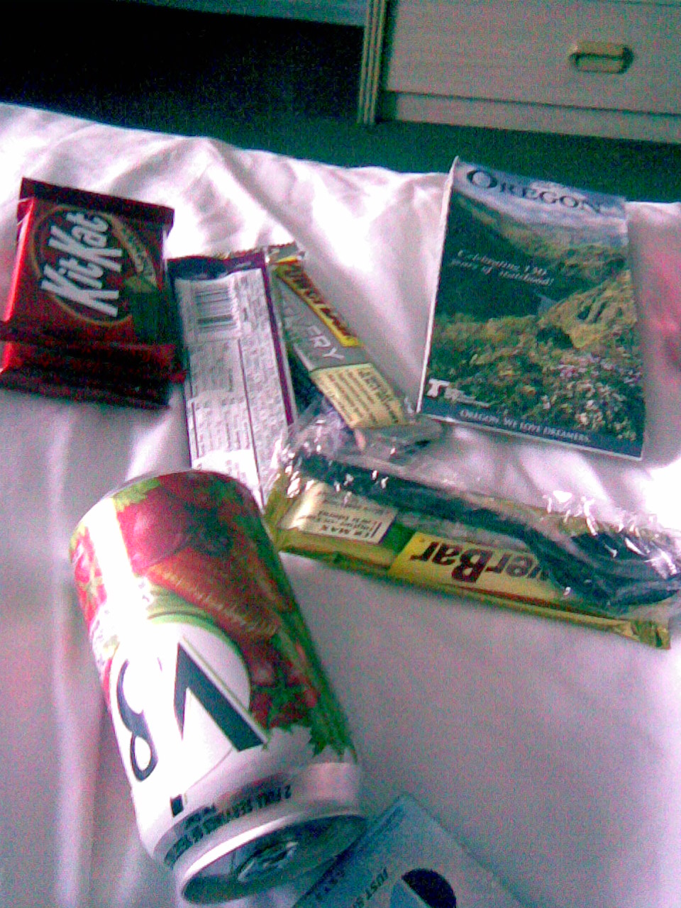
I stayed in Klamath Falls for a day resting, looking over my gear and waiting for my mother and Nikkie to arrive for a visit. Klamath Falls is busy on a Thursday night. Main street was crowded with people. Small vendors and bands on every block. Very entertaining.
Quality Time
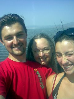
Mom and Nikkie came to visit in Klamath Falls! I spent some time looking over my gear and maps for the rest of the trip. Mom decided to drive down for a day and see Klamath Falls. We had an amazing time looking at the lake, swimming in a pool and playing games. The next day we thought about staying at Crater Lake together since it is so close to Klamath. -Nathaniel July 19th, 2008
Day Nineteen
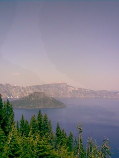
The breath taking views at Crater Lake cannot be described with pictures and words. At an elevation over six thousand feet this deep blue lake looks amazing. It is the deepest lake in the United States with depths reaching over nineteen hundred feet. We drove up together from Klamath Falls and enjoyed the lake together. Ate some lunch then went over to check out the lodge. It was booked! On Sunday night there wasn't a room in house. The girls decided to go home, so I hitch a ride around the lake and down the mountain all the way out to Chemult. We ate an early dinner, and I napped for the rest of the day. I will head out tomorrow morning toward 58, Willamette Pass. One more climb to over five thousand feet then about a seventy mile stretch to Springfield.
Day Twenty
(*Pictures from digital camera - added post trip)
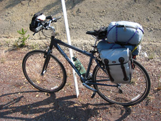
This morning was a nice ride. My endurance has grown steadily throughout this trip. I left Chemult in the eight o'clock hour and made my way to Odell Lake where i set up camp by noon. Willamette Pass is just around the corner and Oakridge is about 35 miles.
(*Post trip insert - nothing posted on this day / Images from digital camera not cell phone)
Black Canyon Camp Ground
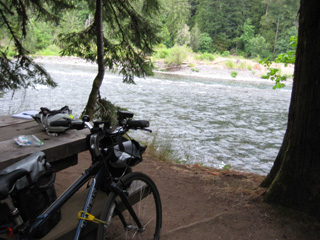
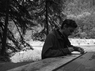
A camp ground west of Oak Ridge. This was a very peaceful night. Only night with no cell phone service.
Bike Trip to Springfield Oregon
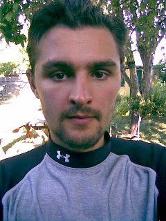
I made it! Three weeks. This morning I rode 58 to Lowell from the Black Canyon campground just outside of Oakridge. Stopped at a covered bridge that had about a million fish swimming around underneath it. Then continued on through Fall Creek and Jasper to Springfield, where I took this picture in the back yard. I am excited to be home. My Mother and Father are excited to see me. They took me out for dinner and ice cream. The trip has been amazing! Thanks for all the messages and support. -Nathaniel
This blog has been slightly modified from the original version.
While visiting Springfield Oregon I spent a lot of time with my Mother, my Sisters and my Father. I went to a couple treatments with my Mother and met her doctor. Everything went well. Normal exhaustion and radiation burns that were expected and only a 10% chance of the cancer returning. I had hoped that my journey would keep her mind off of the pain and I think that it did. She followed me on my blog and printed maps along the way. I wanted to show that life does not have to be a struggle. I chose to ride hard and face the elements and I loved every minute of it. When this journey began I was riding my bike about three miles each day to work for about three months and then I set out and conquered almost six hundred miles in three weeks. With confidence and a focused mind you can overcome anything. Ride a bike to a distant location or stay strong and fight severe illness.
Sahalie Falls, Oregon
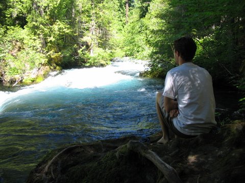
At Sahalie Falls with Elizabeth, Nikkie and Mom
Bicycle Ride to Bedrock Campground Fall Creek, Oregon
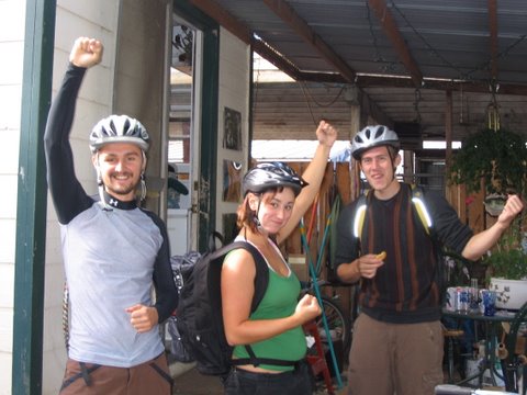
My sister Nikkie and Sean ready to ride up to Fall Creek and camp out for the weekend! 30 miles!
Mother and Children - Skinner's Butte Park
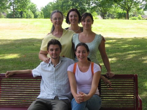
My mother and all of her children at Skinner's Butte Park.
Looking out at the Ocean - Devil's Elbow
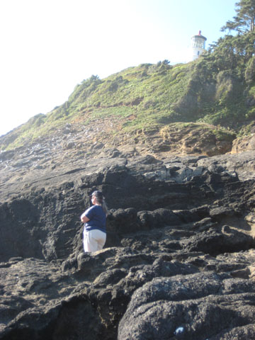
Mom standing on the rocks looking out at the ocean. Devil's Elbow - Oregon Coast
Ever since April 2008 I have been without a car and I don't plan on getting one anytime soon. I set my goal to go without for one year. Even now I think I will end up going longer. It felt good to break the habit of driving every single day. I feel healthier than ever and have saved tons of money on car insurance and gasoline. If you are physically capable and aware of yourself and the dangers I recommend bicycle's for everyone.


